
Stillwater Neighbor Parcel Sources
Public records around a block answer different questions. The Assessor card provides a parcel-level assessment and legal-description starting point. City and Assessor mapping place that parcel beside nearby parcels and streets. The County Clerk holds recorded instruments and plats. The Treasurer's route concerns tax-account information, while the Election Board helps an individual with voter services and protected records. None of these sources is a roster of nearby people, and a property owner should not be assumed to occupy the parcel.
| Source | What It Shows About a Block | Access |
|---|---|---|
| Assessor property card | Assessed owner, situs and billing distinction, legal description, and assessment or sales fields for one parcel. | Public property-card portal or Assessor office. |
| Assessor and City GIS | Parcel geography, street centerlines, boundaries, zoning, utilities, and city-limit context. | Public maps, advisory only. |
| County Clerk records | Recorded instruments and plats connected to each parcel. | Land-records gateway, terminal, or counter. |
| County Treasurer route | Tax-account information tied to a property. | Public tax-roll channel; not title or occupancy proof. |
| Election Board services | Individual voter corrections and protected-record assistance. | Not a block-browsing roster. |
| Community groups | Public contacts, covenants, maps, or historic overlay context. | Not household directories. |
Owners and occupants are separate facts. A parcel record can support a land connection, but it cannot by itself answer who is present at a given address today. Keep the result attached to the date and source that produced it.
Map a Stillwater Neighbor Block
Stillwater's supported block method is manual. Begin with one confirmed parcel and identify the parcels that physically touch it in City or Assessor GIS. No official user guide located for this research documents a named buffer, radius, or one-click adjoining-parcel button. A map can support careful visual selection, but every surrounding parcel needs its own property-card and Clerk check.
- Search the complete address in the Payne County Assessor Property Record Card and confirm the situs and parcel details.
- Open the City All Layers map or Assessor GIS and inspect parcel outlines around that one confirmed parcel.
- Select each touching parcel manually, then open or search its individual property record rather than carrying a map label forward as proof.
- Record the legal description and assessment owner for each parcel that matters to the question.
- Use the County Clerk land-records channel to verify a deed, plat, or other instrument against that legal description.
For a full named-street sequence rather than an immediate block, use the Stillwater street directory record trail. The block method should remain parcel by parcel.
Stillwater Block GIS Layers
The City of Stillwater Maps page leads to the All Layers map, which includes boundaries, ownership parcels, street centerlines, zoning, parks, trails, utilities, and search and analysis tools. The Layer List is where a reader can see the currently available context. It is a good way to determine which parcel outlines meet at a block corner or where a street line runs before consulting the property card.
The City expressly calls its GIS general-public-inquiry material compiled from various sources and subject to constant revision. It is not a survey, title record, appraisal, engineering work, or zoning verification. A line on the map is a prompt to consult a recorded plat or legal description, especially when an apparent edge controls the question.
The Stillwater Maps source page is the City’s public entry to this All Layers parcel context.
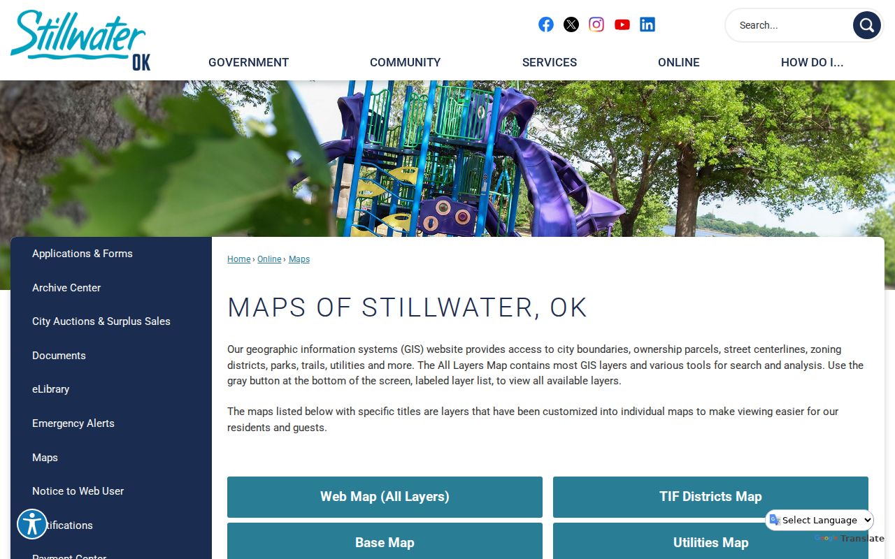
Use the image as a visual starting point for nearby parcels, then inspect each separate property record and recorded land document instead of inferring a household connection.
Stillwater Neighbor Legal Descriptions
The land identifier that travels best from map to document is the legal description. It may use a lot, block, and subdivision, or a section, township, and range. The Assessor card can pair it with the parcel and situs address. The County Clerk's recorded documents use that description to hold a deed, plat, mortgage, release, or other instrument to the right land reference.
The Clerk-linked remote gateway is CAPTCHA-gated before its search controls. When the online route cannot answer a question, the County Clerk's public terminal and counter are the documented alternatives. A state agency guide reports in-office name searching back to 1995 and legal-description searching back to statehood. Treat those as counter-access guidance, not as a claim about remote coverage. Bring the legal description, names, and any instrument or book-page reference already found.
- Parcel
- A defined piece of land used in assessment and mapping records.
- Situs
- The location of an assessed parcel, separate from a billing address.
- Plat
- A recorded map showing the layout of lots, blocks, streets, or a subdivision.
- Grantor and grantee
- The party transferring an interest and the party receiving it in a recorded instrument.
Stillwater Block Record Limits
Each official record has a limited role around a block. The Assessor supports a current assessment and legal-description lead. The Clerk's deed and plat records support the recorded land trail. The Treasurer can supply tax-account context. City Development Services may supply a project or permit lead tied to an address, and the City Archive Center can hold City-created reports. These sources should be compared, not blended into an unsupported conclusion about neighbors.
| Record channel | Use | Limit |
|---|---|---|
| Assessor card | Start from the assessed parcel, owner, situs, and legal description. | Owner and mailing fields do not prove present occupancy. |
| County Clerk | Trace recorded instruments and plats by legal description. | A recorded party is not automatically a present occupant. |
| Treasurer | Check property tax-account information where publicly available. | Tax collection is not deed title or occupancy evidence. |
| eTRAKiT and City archives | Find project, permit, map, or report context. | Project Search is visible; Permit Search redirects to contractor login. |
Stillwater Voter Privacy
The OK Voter Portal is an individual service, not a neighborhood list. It requires the registrant's exact last name, first name, and date of birth. A matching user can verify registration, view districts and polling place information, or use available address-related services. It does not invite a visitor to browse a street or assemble a block roster.
The separate Election Data Warehouse has defined request access. As of November 1, 2025, full voter-registration-list access under 26 O.S. § 7-103.2 is limited to qualified applicants. Basic access excludes the statewide registration list. Restricted Records Program voters and Address Confidentiality Program participants are excluded from public voter data, and the public data do not include driver-license, state-ID, Social Security, telephone, or email fields. The Payne County Election Board is the local channel for corrections and protected-record questions.
Westwood College Gardens Geography
Neighborhood history affects how an address should be read. The City conservation-overlay document describes the Westwood Neighborhood Association's approximate area as extending from 6th Avenue north to the university and from Western Road east to the university, subject to the exceptions in that record. That document is useful for an overlay and context, not as a current member list.
College Gardens was platted in 1927 and replatted in the 1930s. The City describes City Beautiful and Garden City influences in its curvilinear roads, parks and boulevards, decorative tile curb street names, and WPA sidewalks. On that part of Stillwater, a strict rectangular-grid assumption can mislead. Begin with the subdivision, lot, and block record, then compare historic map layers and the current legal description.
Stillwater Neighbor Community Contacts
Community organizations can help explain an area, but their public material does not create a directory of people. The local record supports a small, specific set of contact and context routes. No authoritative City source reviewed for this research published a citywide current neighborhood or HOA directory with individual names or addresses. Use the actual public contact, covenant, map, or outreach page rather than assuming an organization will disclose member details.
| Organization or record | Publicly documented role | Appropriate access |
|---|---|---|
| Westwood Neighborhood Association | Conservation-overlay and neighborhood geography context. | City overlay document; no member roster found. |
| The Canyons of Stillwater HOA | Public covenants, maps, and contacts. | Association's public materials; no member roster. |
| Neighbors Building Neighborhood | Parent organization for Stillwater Police C.O.P. | City Community Outreach information. |
| Downtown Stillwater Association | Downtown community and business information. | Public community information, not a block roster. |
Stillwater Neighbor Lookup Comparison
Official parcel records and commercial neighbor-lookup tools serve different purposes. A commercial category may combine old or mismatched information without showing the custodial source or date. Official records are narrower, but they identify who holds the record and what the record actually documents. For a block question, the narrow route is more useful because each parcel can be checked against its own legal description and recorded instrument.
| Official parcel and custodian records | Commercial neighbor-lookup category |
|---|---|
| Shows assessment, map, deed, plat, tax, or City record context from the responsible office. | May combine data from multiple periods and sources without the same parcel-specific context. |
| Allows confirmation with the Assessor, Clerk, Treasurer, or City custodian. | Requires independent verification against an official record. |
Stillwater Neighbor Privacy Limits
A neighbor lookup can confirm parcel relationships and some public land facts. It cannot identify all people at nearby addresses. Motor-vehicle personal information, utility-customer and delivery information, confidential vital material, sealed court files, and protected voter records are not general public block data. The Oklahoma Address Confidentiality Program provides a substitute address for qualifying participants, and the Restricted Records Program protects covered voters and others under the stated law.
Lawful use. Use block records for lawful personal, family-history, estate, civic, or safety research. Never use them to stalk, harass, threaten, or harm another person.
A result should be verified with the actual custodian before it is relied on. A map label, a tax billing address, or an old community reference does not establish a person's current connection to the block.