
Finding Stillwater Street Records
A named street is not one public list of people. In Stillwater, the dependable route begins with one complete address and follows the land record attached to it. The Payne County Assessor supplies the current property-card starting point. Its card can lead to the parcel identifier and legal description, which are more stable than a name or a displayed street label. The Payne County Clerk then supplies the recorded-instrument route. City mapping, development records, and a dated directory add context without changing what a deed or assessment card proves.
- Enter the complete address in the Payne County Assessor Property Record Card and confirm the matching situs, or property location.
- Copy the account or parcel identifier and the legal description. A lot, block, and subdivision description, or a section, township, and range description, is the bridge to recorded land documents.
- Use the legal description and current owner as leads in the Payne County Clerk land-records channel. Read the acquisition instrument for the grantee, grantor, date, and recording reference.
- Check the City All Layers map for the street centerline, parcel geography, and available context layers. Development Services records can then add a project or permit trail tied to the address.
- For an earlier address-to-householder lead, consult the verified 1962 Crossman street guide and householders' directory. Treat it as evidence for that publication year only.
The sequence is deliberately narrow. It links an address to a parcel and public land trail; it does not turn a property record into a list of everyone connected with that address.
Stillwater Address Card Fields
The Assessor-linked Property Record Card is the first official search surface for a street-by-street inquiry. Search results are assessment facts, so use the owner field as an assessed ownership lead rather than a current-person claim. The portal configuration also matters when a long street produces too many matches: it reports up to 300 displayed results and an Excel-download maximum of 500. Break a broad address search into a number range or use map and advanced controls instead of expecting one unlimited street result.
| Card field or mode | Use on a street search | Important limit |
|---|---|---|
| Account | Find a property by account or property ID. | It identifies the assessment record, not a person. |
| Address | Find the situs address for a parcel. | Suggestions can help match the current address form. |
| Owner | Locate assessed ownership records. | An owner field is not a household roster. |
| Subdivision | Narrow a search using the recorded subdivision context. | The field is present in the configuration but is not always in the basic selector. |
| Map and advanced search | Use map, advanced, or shape search for a defined area. | Filters include land use, improved or vacant, fire district, neighborhood, section, township, and range. |
| Result and export limits | Review a manageable portion of a broad query. | Configuration shows 300 results on screen and 500 for an Excel download. |
A property card can show account or property ID, owner, billing address, situs, parcel ID, legal description, sales fields, grantor, and deed reference where present. Copy the parcel facts before moving to the Clerk's index.
Stillwater Situs and Billing Addresses
The property card distinguishes FormattedLocation from BillingAddress, City, State, and ZIP. The situs or location address points to the assessed parcel. A billing or mailing address is tax-correspondence information and may be elsewhere. Neither field confirms who currently occupies the location. Keep those questions separate before adding a result to a street directory note.
The same card configuration can display market value, parcel ID, land size, land use, school district, exemption, legal description, sales date and price, deed book or page, instrument type, grantor, imagery, appeal, and tax-estimator links. Availability can differ by record. The legal description is the key field for a land trail because it connects a map location to the Clerk's instrument index even when a displayed address changes form.
Stillwater GIS Street Layers
The City All Layers GIS is the visual companion to the property card. It provides city boundaries, ownership parcels, street centerlines, zoning districts, parks, trails, utilities, and search and analysis tools. Open the Layer List and check the currently available layers before relying on a label. A parcel outline can show which parcels touch a segment, but the Assessor card and recorded plat remain the sources for the land facts behind the outline.
The City states that GIS data come from varied sources, are revised constantly, and are for general public inquiry. It is not a survey, title record, appraisal, engineering work, or zoning verification. That warning matters most where a street bends, a parcel line is close to the road, or a boundary is disputed.
The City of Stillwater Maps page leads to the All Layers map and its local street and parcel context.
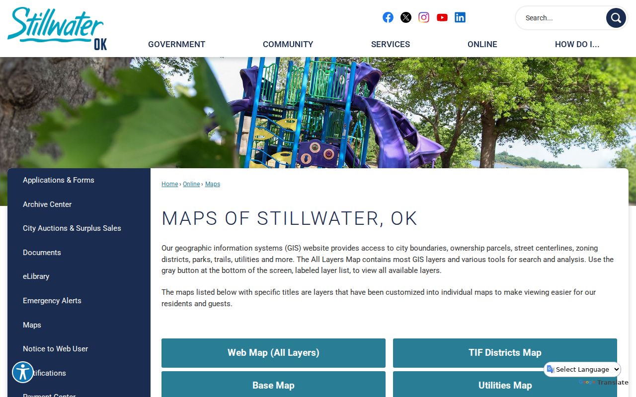
Use the map to orient the street search, then verify a parcel's legal description through the Assessor and County Clerk.
Stillwater Street Deed Chain
Recorded deeds answer a different question from the assessment roll: who transferred an interest in the parcel and when. The Clerk's land-records gateway is CAPTCHA-gated, so the reviewed public entry did not expose its post-login fields or a coverage cutoff. Do not assume that a missing web result means the Clerk lacks the document. The Clerk's own office and public terminals are part of the research path.
A state agency guide reports in-office name searching back to 1995 and legal-description searching back to statehood. Those are counter-access guide points, not a verified promise of remote image coverage. Bring the legal description, grantor or grantee names, book and page or instrument number when known. The office can direct a visitor to its tract and reception records, deed books, image availability, and current copy options.
The Clerk-linked recorded-land gateway displays the CAPTCHA gate before its search controls.
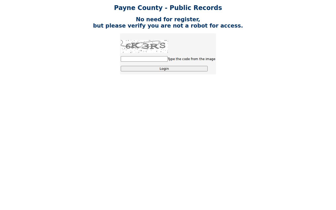
That gate makes the office terminal and counter route essential when a legal-description or historic deed search cannot proceed remotely.
The Payne County Clerk deeds page describes the recorded ownership and chain-of-title function.
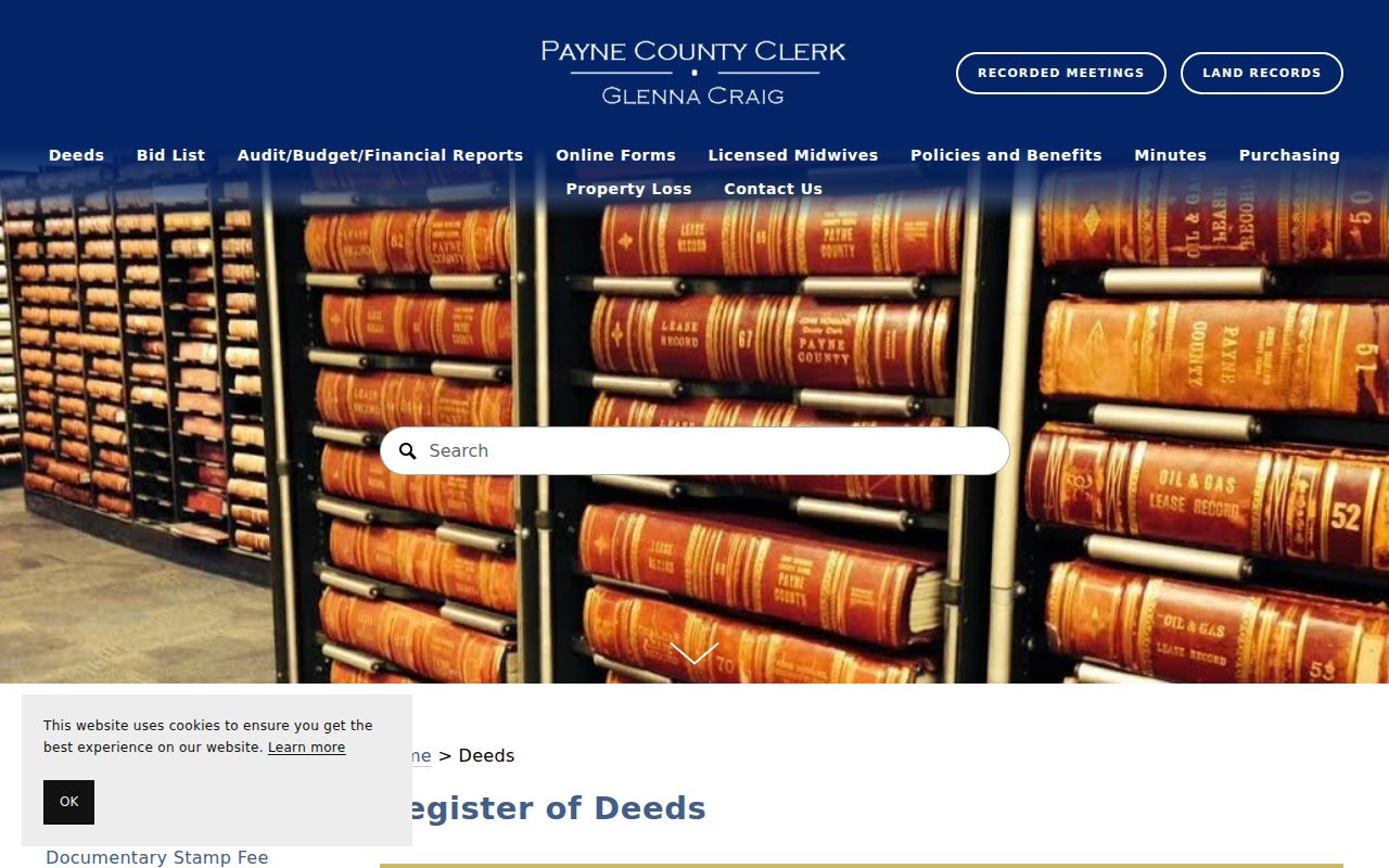
For each acquisition, read the grantee, the party receiving an interest, and the grantor, the party transferring one, against the same legal description before stepping backward.
Stillwater Address Permit Access
City Development Services adds a built-environment layer. Stillwater eTRAKiT presents permits, projects, inspections, licenses, address-location tools, and a map. Its public Project Search remains visible, while Permit Search redirects to a contractor login. That access difference is important: a public project result can be a lead, but a reader should not expect the permit route to expose the same detail without the required access.
A connected project or permit may identify a project address, work, dates, an owner or agent, or inspection activity. It does not establish current occupancy. The City Archive Center is another route for City-created documents; its Building Permit Reports visibly begin at least in 2022 and run through May 2026, with apparent month gaps. When an older or unposted City record is needed, a written request to the custodian remains the fallback under the Oklahoma Open Records Act.
The Stillwater eTRAKiT portal shows the separate public-facing permit, project, map, and contractor routes.
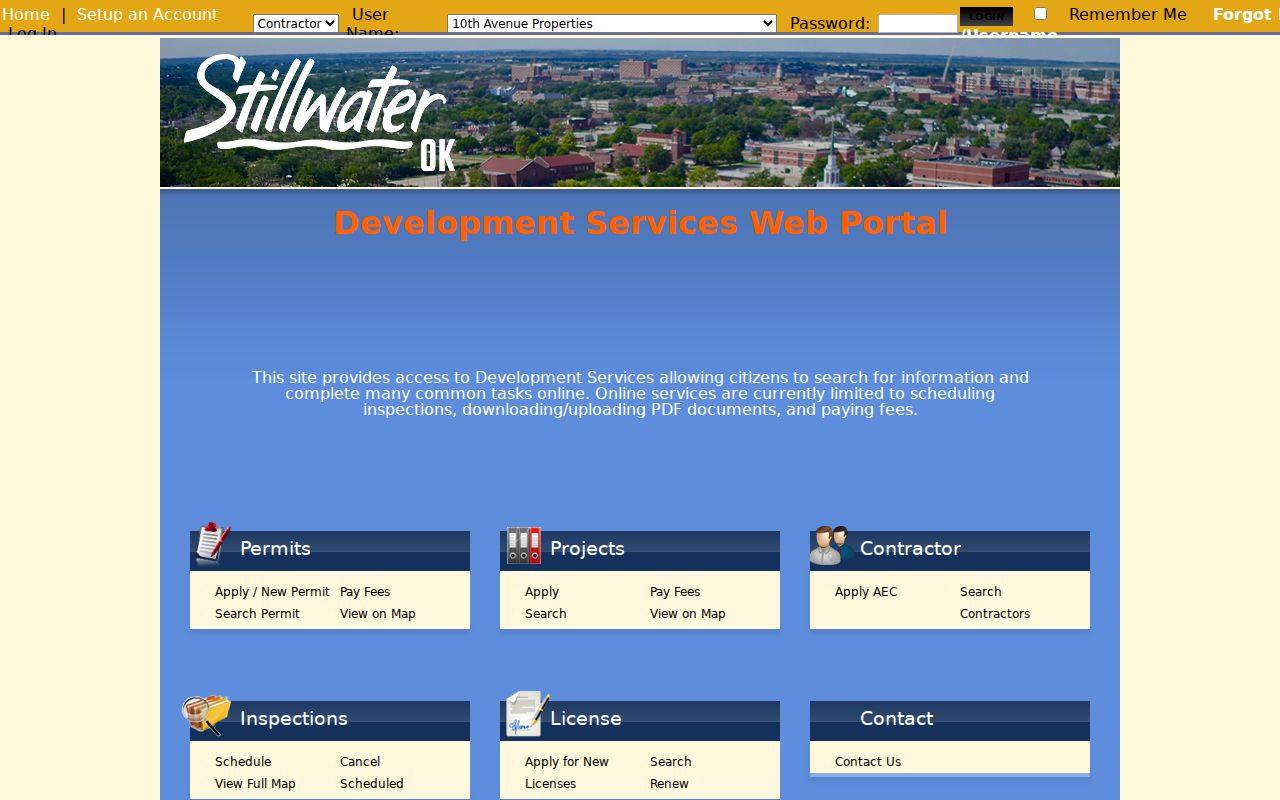
The screen supports using a confirmed address as a project lead while respecting the different access offered by Permit Search and Project Search.
1962 Stillwater Street Guide
For a single verified historical address year, the 1962 Crossman volume is unusually useful. Its introduction identifies a street guide and householders' directory, numerical telephone directory, city map and block information, organization listings, and a buyers' guide. That makes it an address-first local source, not proof that every Stillwater volume has a reverse index.
The digitized 1962 Crossman directory should be read as a dated publication. Its publisher described a house-to-house canvass and also cautioned about errors, omissions, and changing numbers. Pair a householder lead with the page image, a parcel record, and other dated sources before drawing a conclusion.
The 1962 Crossman source shows the local volume whose introduction names this street-guide function.
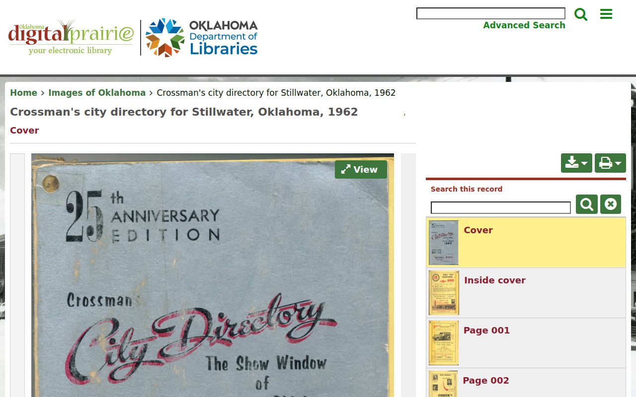
Use its address-first material for the one documented year, then confirm a past household through other dated Stillwater records.
Stillwater Street Records by Address
Each address-keyed source has a different job. The parcel card anchors the modern land reference. Mapping supplies geography. The Clerk supplies recorded instruments and plats. City Development Services can add work or project context, and the Treasurer's channel concerns tax collection rather than title. The voter portal has a much narrower role: it is an individual service that requires exact first name, last name, and date of birth, not a way to browse a street.
| Address record | Local keeper | What it can establish | Access channel |
|---|---|---|---|
| Property record card | Payne County Assessor | Assessed owner, parcel starting point, legal description, and assessment context. | Property card, Assessor counter, or email fallback. |
| Parcel and street map | City and Assessor GIS | Parcel geography, street centerlines, boundaries, zoning, and precinct context. | Public map, advisory only. |
| Deed or related instrument | Payne County Clerk | Recorded parties, instrument reference, and legal-description trail. | Land-records entry, terminals, counter, or copies. |
| Plat or subdivision record | Payne County Clerk | Lot, block, subdivision, or other legal-description context. | Land records or counter. |
| Project or permit record | Stillwater Development Services | Authorized work and associated project information. | eTRAKiT, map, archive, or written request. |
| Registration service | Oklahoma State Election Board | A matching registrant's own service options and districts. | Name and date-of-birth portal; no street browsing. |
Stillwater Street Record Terms
Address research becomes clearer when the labels are kept in their own lanes. These terms recur in Payne County land and historical-directory work.
- Parcel
- A defined piece of land used in assessment and mapping records.
- Situs address
- The location of the assessed parcel, distinct from a tax mailing address.
- Plat
- A recorded map that lays out lots, blocks, streets, or a subdivision.
- Legal description
- The land identifier, such as lot and block or section, township, and range, used in deeds and plats.
- Criss-cross directory
- An address-first directory arrangement. The 1962 Crossman volume is the verified local example.
College Gardens Street Geography
Westwood's College Gardens illustrates why a strict grid assumption can fail in Stillwater. The City conservation document says College Gardens was platted in 1927 and replatted in the 1930s. Its City Beautiful and Garden City influence appears in curvilinear roads, parks and boulevards, decorative tile curb street names, and WPA sidewalks.
For an address in that area, start with the subdivision, lot, and block record and compare it with historic map layers. Do not substitute an imagined citywide renumbering story for the actual parcel and plat trail. A curved road or an older subdivision label is a reason to verify the legal description, not a reason to guess.
Stillwater Street Directory Limits
A street directory can connect a public land record, mapped parcel, or dated directory entry. It cannot identify every person at an address. Utility-customer and delivery data are not general public address lists, and motor-vehicle personal information is protected. Confidential vital material, sealed court files, and protected voter information are also outside a street search. Oklahoma Address Confidentiality Program participants and voters in the Restricted Records Program have extra statutory protections.
Lawful use. Use Stillwater address records for lawful personal, family-history, estate, civic, or safety research. Never use them to stalk, harass, threaten, or harm another person.
When a record matters, confirm it with the Assessor, County Clerk, City custodian, or other office that holds it. A current public display can be incomplete, changed, or tied to a different person with the same name.