
Stillwater Previous Residents Sources
The most reliable backward trail starts with one confirmed Stillwater parcel, not a broad street-name search. The current property card supplies the situs address and legal description. The County Clerk's recorded instruments then connect transfers to that durable land description. Directories and census records add the household layer. Permits, maps, obituaries, and probate records can resolve dates or changes, but none replaces the other sources.
| Source | Years It Covers | Where Held | What It Shows |
|---|---|---|---|
| County Clerk recorded documents | Online cutoff not located; in-office name access from 1995 and legal-description access to statehood | Payne County Clerk land-records channel, terminals, and counter | Recorded transfers and related instruments tied to the legal description. |
| Stillwater directory shelf | 1910, 1922, 1927, various 1930–1945 editions, and nearly complete after 1945 | Stillwater Public Library Local History & Archive | Dated householder, address, and other directory details, depending on the volume. |
| Telephone directories | Most years since 1934, according to the OHS historic survey | OSU Special Collections and library holdings | Published phone and address listings where available. |
| Federal census | Released on the federal 72-year schedule; 1950 is the latest released decennial census | National Archives and genealogy access channels | Historical household and enumeration context. |
| City permits and projects | Live online coverage not located | Stillwater eTRAKiT and Development Services | Work, project, permit, and inspection dating evidence. |
| Sanborn maps | 1894, 1895, 1898, 1901, 1907, and 1913 | Library of Congress | Building footprint, use, block, and street context, not names of residents. |
Use the date in the question to choose the first source. A recent transfer begins with the parcel and deed path. A question about a mid-century address may begin with a directory year or telephone book, then return to the deed chain. Earlier street form or building context may call for a Sanborn map and legal description before a name is pursued.
Start a Stillwater Address Trail
Open the Payne County Assessor or its linked property record card with the current street address. Copy the street number, direction and suffix, subdivision, lot and block, parcel identifier if displayed, and the legal description. The assessor's location is the situs address, meaning the place of the assessed parcel. A different billing or mailing address may be shown for correspondence and should not be substituted for the situs.
Next, compare the parcel with the City of Stillwater's All Layers map. It supplies parcel, street-centerline, boundary, zoning, and related visual context. The City describes this GIS material as advisory and subject to revision, so it is useful for orientation but is not a survey or title determination. The lot, block, subdivision, or section-township-range wording is what holds the trail together when a number or street form becomes uncertain.
Trace Earlier Residents by Deed
Recorded deeds describe the history of title, which is not the same as a list of occupants. Still, a careful deed chain gives the backbone for researching earlier occupants at one address. Begin with the present parcel and the latest acquisition document. Read the parties, document type, recording date, reference number, and legal description before moving backward. Common names and changed address forms are why the legal description and date matter at every turn.
- From the property record, save the precise legal description and the currently listed owner or grantee.
- Use the Payne County Clerk land-records channel to locate that owner's acquisition instrument by name and legal description.
- Read the deed's grantor, the party transferring an interest, and grantee, the party receiving an interest. Record the document type, recording date, and instrument or book-and-page reference.
- Search the seller or grantor as a grantee in an earlier instrument using the same legal description. Repeat the sequence, watching for plats, quitclaim deeds, mortgages, releases, affidavits, and probate-related transfers.
- When the remote route lacks the needed record, use the Clerk's counter or public terminal and ask for the name, tract, or legal-description path appropriate to the date.
- Grantor
- The person or entity transferring an interest in a recorded instrument.
- Grantee
- The person or entity receiving the interest in that instrument.
- Chain of title
- The documented sequence of transfers connected to one parcel or legal description.
- Legal description
- The lot, block, subdivision, or section-township-range wording that identifies land more durably than a street address.
Payne County Deed Access
The County Clerk's remote recorded-land gateway is CAPTCHA-gated, so its post-login fields and coverage cannot be assumed from the public screen. The official Clerk-linked recorded-land login below shows that access gate. It is a useful online entry point, but not proof that a particular historic name, tract, or image is available remotely.
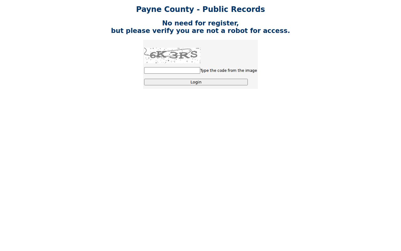
The in-person route is clearer. The state agency guide reports name searching from 1995 and legal-description searching to statehood at the Clerk's office. That is an in-office coverage statement, not an online coverage claim. The Clerk says public records may be viewed online or during weekday business hours, 8:00 a.m. to 5:00 p.m.; its Deeds page lists (405) 747-8310. Ask staff to direct the search to the appropriate terminal, tract index, deed books, or older record storage when the remote path ends.
The Clerk's Deeds page describes recorded deeds as the public ownership record and chain-of-title resource. It is the source for the deed explanation displayed here, while the image reminds a researcher that the online route may first require a successful access step.
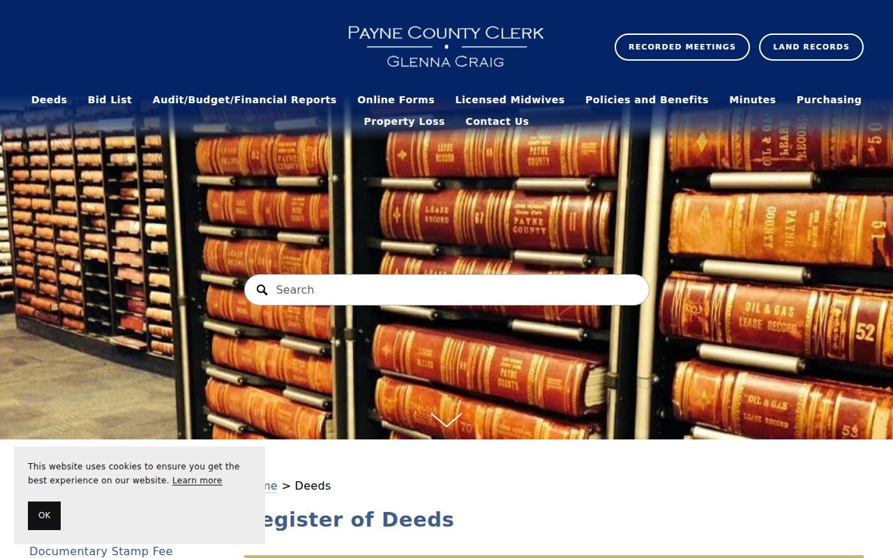
Use the Clerk's public access channels for an older transfer rather than guessing from a missing web result. The recorded document can be checked against the parcel's legal description before it is added to a past-resident timeline.
Stillwater Directory Years
The Stillwater Public Library Local History & Archive is the local physical route for the historical household layer. Its verified shelf includes 1910, 1922, 1927, various editions from 1930 through 1945, and a nearly complete run after 1945. Most materials are in-library use; patrons ask at the Adult Help Desk and show photo ID. Ask for the exact year and whether a particular volume has a street guide before making a trip.
The Local History & Archive source page describes the in-library access setting for the Stillwater historical shelf.
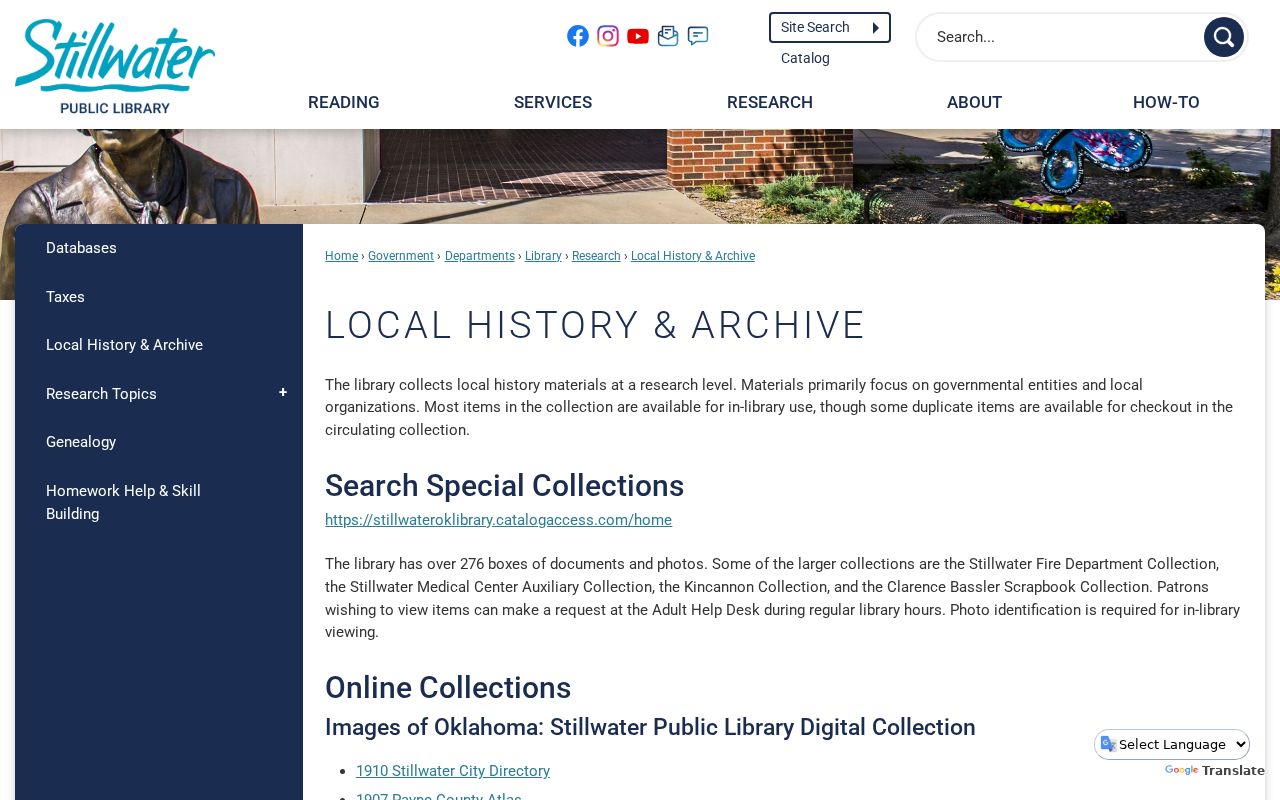
The archive page is the starting point for a missing-year question before turning to the Adult Help Desk or a nearby digitized volume.
The 1962 Crossman directory is a special address-first resource because its introduction explicitly identifies a street guide and householders' directory. It does not establish that every Stillwater volume works that way. The 1910 Hoffhine volume also covers Stillwater and Payne County, so a matching entry is not automatically inside the City. For collections details and individual digitized editions, use the Stillwater Directory Book route.
The digitized 1962 Crossman directory visibly introduces its address-first street-guide and householders layer.
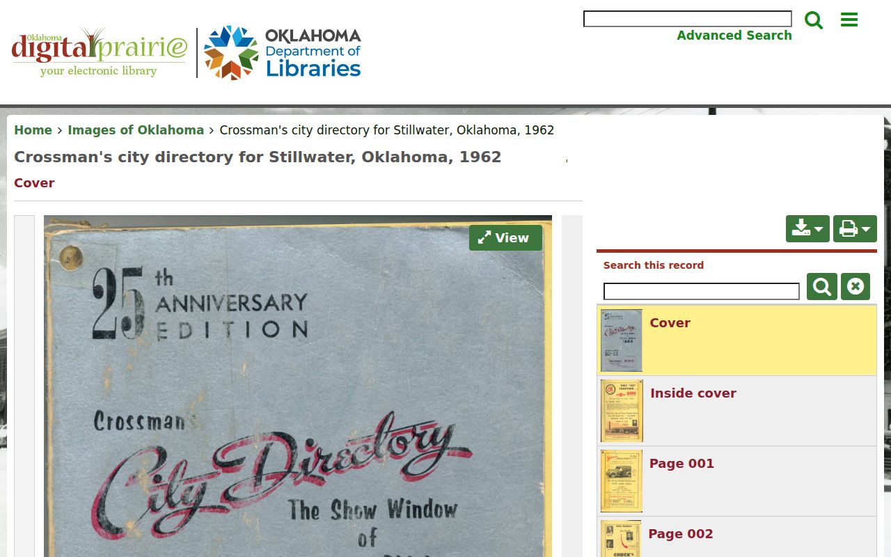
For that one year, the image supports moving from a confirmed old address to a printed householder lead before comparing other dated records.
Telephone directories add a separate dated layer. The OHS historic survey identifies most years since 1934 in OSU Special Collections. A phone listing may corroborate an address for its publication year, but changing numbers and omitted listings mean it should be paired with the printed page, address form, and another dated source.
Note: A directory listing can place a householder in a publication year; it does not establish title or a present connection.
Stillwater Past Household Evidence
Directories, census releases, local newspapers, obituaries, and probate files answer the personal side of a previous-residents question. The federal 72-year release schedule makes 1950 the latest released decennial census. Census material supplies historical household and enumeration context, but it may use a street number or district that differs from the current address. Preserve the source date and the original spelling before connecting it to a parcel.
Address and legal description → nearest verified directory year → released census context → newspaper or obituary lead → probate or recorded transfer check. This flow separates evidence of occupancy, household context, death notice, estate relationship, and land transfer. A gap in one source is a reason to check another source, not proof that a person left, died, or never lived there.
The library's Stillwater NewsPress obituary index covers 1940–2003. An index hit supplies a newspaper date and page, then the library's microfilm is the retrieval path. Public district-court probate information is a separate check through the OSCN docket search and the Payne County Court Clerk, subject to confidential-file limits. These sources help reconcile a dated record; they do not create a current locator.
Stillwater Sanborn Map Context
The Library of Congress has six verified Stillwater Sanborn fire-insurance map publication years: September 1894, October 1895, September 1898, July 1901, June 1907, and April 1913. The sets range from two to thirteen sheets. The Library of Congress Sanborn collection can show building footprint, use, nearby streets, and block context for a house history.
Sanborn maps do not name residents. Their value is geographic: an old street label or building shape can be compared with the legal description, subdivision, plat, historic directory, and current parcel. This is especially useful when researching an early Stillwater address before a verified directory year or when the physical layout seems inconsistent with a present-day map.
Stillwater Permit Dating
City permit information can add a dated built-environment layer to the trail. Stillwater eTRAKiT has a visible Project Search route and map links, while Permit Search redirects to contractor login. The City Archive Center offers keyword, archive, time, and date searches; building-permit reports are visibly available from at least 2022 through May 2026. No complete permit or image-index start date was verified.
The eTRAKiT landing page is the documented visual entry for Stillwater’s project, permit, map, and contractor routes.
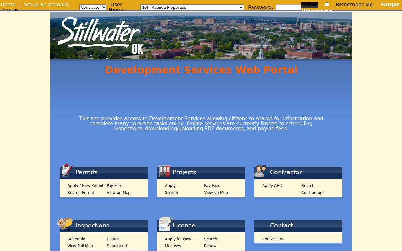
The screen supports an address-based date check while leaving household membership and full permit access to the appropriate record path.
A permit or project record can show that work was authorized or that an applicant, owner-agent, or contractor interacted with Development Services. It cannot identify every person who lived at the address. When a record is not visible online, use Development Services or the City's documented records channel to ask for an existing public record by the confirmed address and date range.
Stillwater Address Form Changes
No official source reviewed here identifies a citywide historic street-renumbering event. Do not assign a renumbering date to explain a mismatch. Instead, preserve the original number and street spelling from each source, then bridge the records with a lot, block, subdivision, plat, section-township-range description, map layer, and transfer date. The legal description is often more stable than a street number.
Local geography can also complicate a simple grid assumption. College Gardens was platted in 1927 and replatted in the 1930s with curvilinear roads, parks and boulevards, tile curb street names, and WPA sidewalks. For earlier occupants near that area, compare the parcel's subdivision and lot with the historic map before treating a modern street form as an exact historical match.
Lawful use. Research past residents for family history, house history, estate questions, or civic curiosity. Do not use an address trail to stalk, harass, threaten, or harm a living person.